Keywords
- GDI (Geographic Data Infrastructure)
- IDS (Spatial Data Infrastructure) / SDI (Spatial Data Infrastructure)
- Data sharing
- Pooling of services
- Co-production of repositories
- WFS, WMS, WFS-T and CSW ISO AP
- Data Catalogue
- Harvesting
What is a Geographic Data Infrastructure?
A Geographic Data Infrastructure is a platform for sharing geographic information between several entities (persons, services or organizations). It brings additional transversal services to GIS users, the main ones being the following:
- Catalogue
- Harvesting of GIS metadata (and data) from the GIS of the users of the IDG
- Servers, rights management module, directory
- Web services (compliant with OGC specifications), flow management and web services (e.g. geocoding)
- Data storage
- ETL (extract transform load), i.e. data transformation and download services (upload and download)
- Possibly applications specific to a theme (e.g. collaborative space in Extranet).
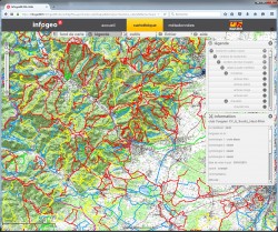
- Map viewer
- Web pages, editorial content and animation
Generalization of IDGs
IDGs were initially developed in the public sphere to meet need to pool the purchase of spatially referenced data.
The vocation and usefulness of public IDGs are now confirmed by the law NOTRe (New Territorial Organization of the Republic, of 7 August 2015), which recognizes the role and relevance of regional IDGs.
More generally, the IDGs respond to a need for GIS urbanization, between data management (back office) and integration into business processes (front office). More and more large private sector organizations are evolving their GIS architecture towards IDGs that promote the cross-cutting nature of geographic information and its use by a growing number of applications.
IDGs are thus becoming a natural evolution of GIS. These solutions respond to the need for standardization of uses and management of rapidly growing volumes of data.
What are the stakes for the GIS administrator?
- Facilitating the sharing and reuse of geographic data
- Facilitate standardization processes for geographic data models
- Unify geographic data management processes, including cataloguing
- Pooling geographic data acquisition costs
- Facilitate cross-functional uses and collaboration (internal between departments and with partners)
- Set up services facilitating access to data: search, consultation, downloading, transformation, service calls, etc.
- Unify interoperability rules, i.e. provide data according to common rules
Services offered
arx iT offers expertise and skills in the field of MDIs, including :
- Opportunity study
- Design of the roadmap
- IDG architecture design, development and integration
- Development and integration (ESRI, GĂ©osource, IsogĂ©o, …)
- Data auditing, streamlining business processes
- Supporting change, animating user networks
- Advice on data and partnership management in the ecosystem of a CI (organization, governance, legal aspects)
References
- International Committee of the Red Cross (ICRC): implementation of the global geoportal
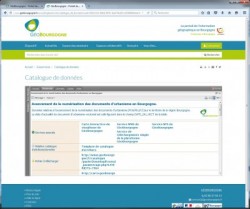
- GeoBurgundy: platform design and assistance in the choice of the technical base
- PRODIGE 971: design of the IDG of Guadeloupe and piloting of its implementation (in partnership with Alkante)
- PPIGE (Nord-Pas de Calais): advice and assistance in the choice of a geocoding solution integrated into the regional platform
- GĂ©oRhĂ´neAlpes : platform design
- Aquitaine Region: strategic study on the development of geographical information
- GĂ©oManche: assistance to the project owner for the creation of a departmental geoportal
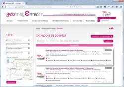
- Mayenne General Council (http://www.geomayenne.fr/): implementation of a departmental platform for the dissemination and sharing of geographical information


arx iT on social networks