Mots clûˋs
- Mobileô GIS
- Geo-collaboration
- Augmented reality
- ArcGIS Server Mobile (ESRI), ArcGIS for iOS, ArcGIS for Android
- iPhone dûˋveloppement,ô Virtual Tag
- Nomadic application
- Geo-Tagging, Tag virtuel, Spatial messaging, digital graffiti
- iPhone, Android, Windows mobile
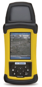
- Tablet PC, PDA, GPS, Smartphone, Mobile phone
Description
Since 2009, arx iT has established a new center of excellence “Mobile Solutions”. It provides services in the development of mobile GIS applications. Otherwise, mobile applications with strong mapping component.
Our expertise gives the possibility to integrate GIS in our mobile solution regardless of the platform (iPhone, Android, Windows mobile).
For example, we develop a collaborative geo-mapping solution for the consultation of the tourist information of the region.
Services
arx iT offers expertise and development of mobile solutions including :
- Custom Development on mobile platform (iPhone, Android, Windows Mobile, JAVA)
- Mobile integration and GIS
- Implementation of geocollaborative solutions
References
- TOTAL
- CERN : facilities localitionô
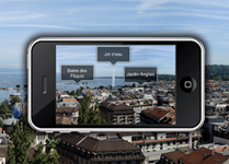
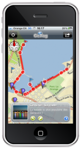
- Ville de Genû´veô : tourist application
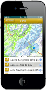
- Promotion of walking around the Mont-Blanc
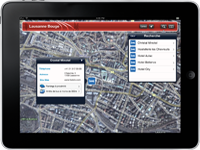
- Toursist promotion of Lausanne city with routing task
- CG68 : Infogûˋo68
- Mont-Blanc walking
- Aûˋroports de Paris : Custom development for nomadic entry
- Cantonô of Geneva; iPhone et Android development for SITG


arx iT on social networks