Keywords
- Open Source GIS
- GeoSolutions Partnership
- GeoServer, MapStore, GeoNode, GeoNetwork
- QGIS, QGIS Plugin, gdal, ogr2ogr
- PostGIS, PostGreSQL
- OpenLayers, Leaflet, OpenStreetMap (OSM)
Description
For 20 years, arx iT has been working in the fields of GIS consulting and geoinformatics solutions integration, and as such, has not only a strong expertise on proprietary products such as Esri but also recognized skills on Open-Source GIS technologies.
Thus, arx iT is able to provide independent consulting services adapted to the needs of its customers:
- Implementation of hybrid GIS: cohabitation of Open Source and proprietary solutions (like Esri)
- Consulting and analysis for the implementation of GIS infrastructures based on Open Source technologies
- PostGIS spatial database modeling
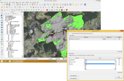
- Development of desktop GIS applications and QGIS plugins
- Development of web GIS applications with map server (GeoServer, MapServer, QGIS Server)
References
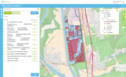
- Public observatory of the Internet network for ARCEP based on a PostGIS-GeoServer-Leaflet solution
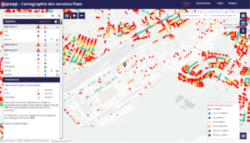
- “geoFootprint” project : development of the Webmapping platform on a global scale (GeoServer, Leaflet)
- Update of the GIS Web application for the International Telecommunication Union
- Automatic geodata extractor for Asit-VD and integration to the free EasySDI platform
- Development of QGIS plugins for the Grand Duchy of Luxembourg
- QGIS training for the Negawatt Institute
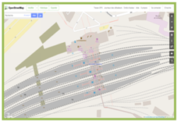
- Integration of data from architectural plans in OpenStreetMap for SNCF-Transilien
Partnership with the Open Source Majors
Arx iT collaborates and is a certified partner of GeoSolutions, a major contributor of “GeoServer”, Moreover, arx iT supports the QGIS project, by contributing to its funding and by being a member of the QGIS User Group Furthermore, arx iT is part of OSGeo and is one of its sponsors, Finally, arx iT also participates in many Open Source related events and conferences like FOSS4G-fr. |   |
arx iT on social networks